


Overall: 72.5cm 72.5cm
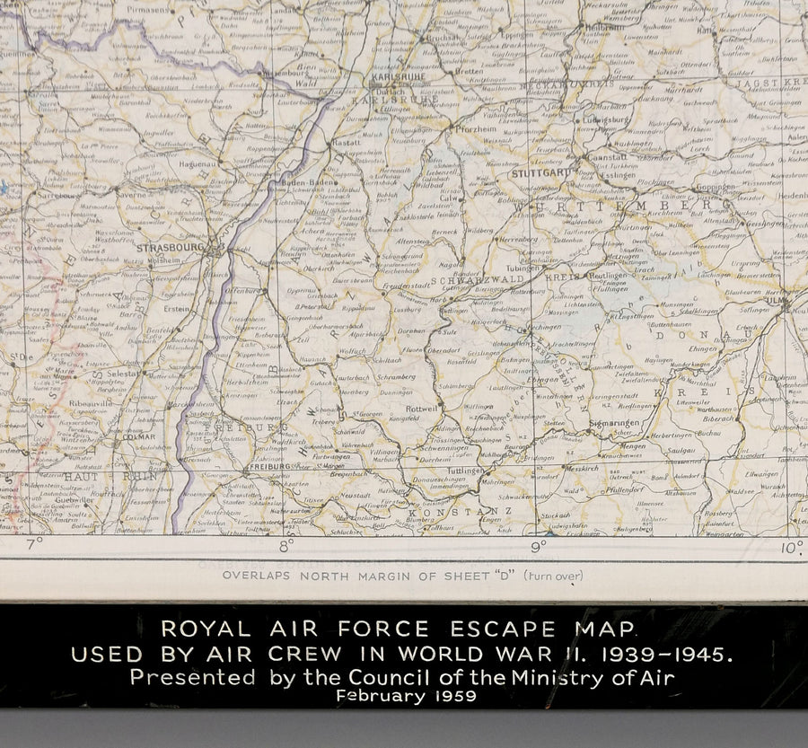
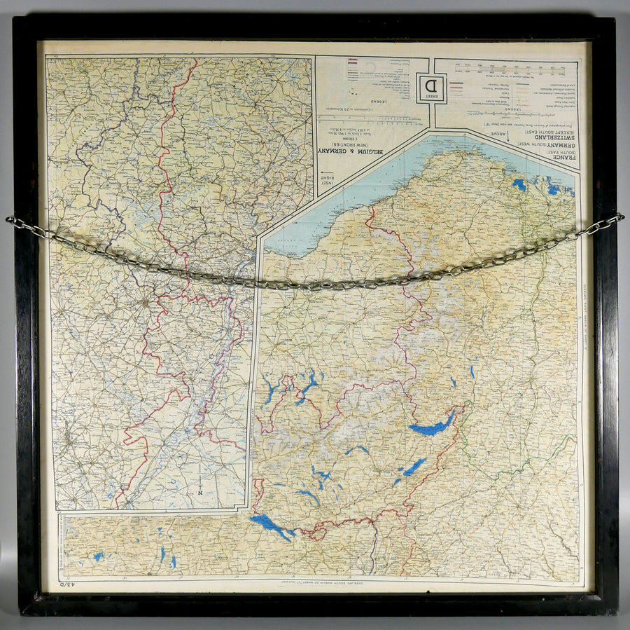
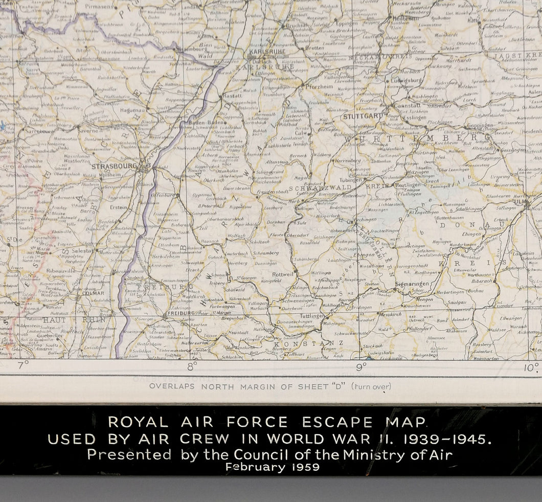
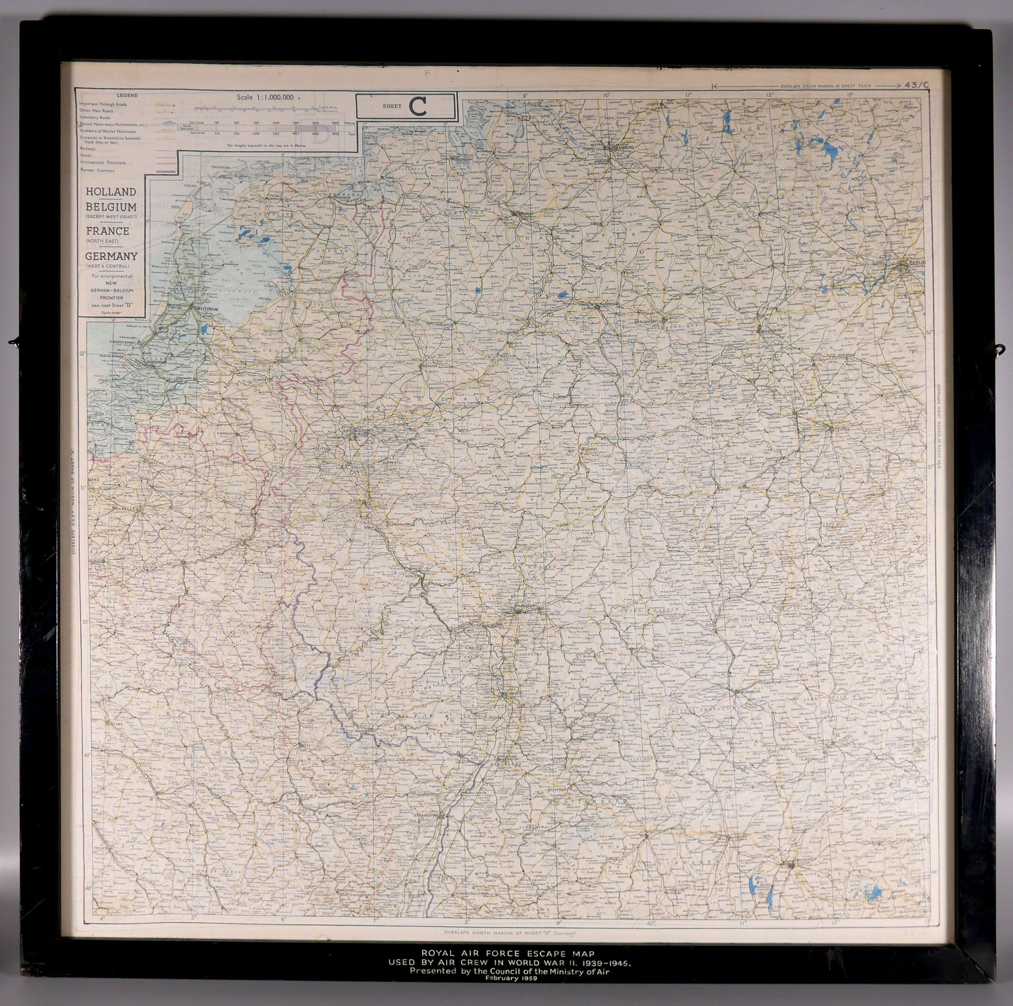
Double sided printed silk map, featuring on the obverse Holland, the greater part of Belgium, north east France, west and central Germany and on the reverse, south east France, north west Germany, and large part of Switzerland, in glazed double-sided frame with presentation inscription - 'Presented by the Council of the Air Ministry, February 1957’.
Read more
The British silk escape and evasion map was the brainchild of Clayton Hutton (1893-1965) a Great War Royal Flying Corps pilot and magic fan who talked his way into a job with British Intelligence’s Escape and Evasion branch, MI9, at the start of the Second World War with a convoluted story involving himself and the escapologist Harry Houdini. Hutton, who more recently had been working as a PR man in the film industry and as a journalist for Lord Northcliffe, persuaded the British Museum to collect in the region of fifty true First World War escape stories from various second hand bookshops in Bloomsbury. He then had them delivered to the sixth form at Rugby School and asked the pupils to read the books and summarise the key elements. The one element that constantly cropped up was the escape map.
Clayton Hutton, or ‘Clutty’ to his colleagues, then approached the prestigious cartographers John Bartholomew a Sons, and persuaded them to waive their copyright on maps for the duration of the war. Hutton next had the maps printed onto pure silk; the ideal material for escape and evasion being quiet, rustle free and easy to hide or sew inside clothing. The maps were widely issued and used by allied aircrew, resistance fighters and special forces throughout the war and were also smuggled into prisoner of war camps. In 1942, Hutton further penned a top secret booklet entitled ‘Per Ardua Libertas’ which contained examples of each escape and evasion maps produced to date, principally for use by U.S. intelligence officers.